


WASHINGTON – The Precision Agriculture Task Force of the Federal Communications Commission (FCC) made a decision to endorse a set of new recommendations for the commission.
The task force is set to request the FCC and the Department of Agriculture to enhance their efforts in mapping broadband, give priority to subsidies for broadband in agricultural areas, and implement various measures to guarantee that farmers have sufficient broadband access, especially as the industry increasingly relies on data and analytics.
In terms of mapping, the task force will advocate for increased resolution in the FCC’s BDC map. Additionally, it will propose the inclusion of more detailed information in the map, such as validated ground coverage and specific details about agricultural structures.
Several working groups have suggested changes to the USDA’s ReConnect program, a broadband subsidy established by the 2021 Infrastructure Act. The task force staff emphasized the need for modifications to prioritize funding infrastructure that facilitates high-speed broadband connectivity for farms.
These suggestions align with those presented by the task force in November 2021, where they sought enhanced broadband mapping, improved data collection, and additional funding incentives.
Members of the task force also gave their approval to a statement expressing conditional support for the Last Acre Act, a Senate bill introduced in July. The proposed legislation aims to create an FCC-administered fund to assist agricultural broadband projects.
While members expressed concerns about specific aspects of the legislation, such as strict eligibility criteria, they endorsed the overall intent of funding broadband in rural areas.
Task Force Chair Teddy Bekele announced that the approved recommendations would be submitted to the FCC and USDA next week.
What is Precision Agriculture Task Force?
The Precision Agriculture Task Force, mandated by the 2018 Farm Bill, stands as a collaborative initiative between the Federal Communications Commission (FCC) and the United States Department of Agriculture (USDA).
Its primary mission is to delve into the intricate world of precision agriculture, where computational tools and connectivity converge to revolutionize farming practices. Precision agriculture involves leveraging advanced technologies to optimize farming processes, enhancing efficiency, sustainability, and productivity.
What Does It Do?
It operates with a multifaceted approach, encompassing the study of connectivity needs, mapping agricultural broadband, addressing workforce standards, and facilitating the deployment of broadband infrastructure tailored to precision agriculture.
Its ultimate goal is to provide farmers with the tools and resources necessary to cultivate crops more efficiently, integrating technological advancements seamlessly into traditional farming practices.
It is structured with precision, dividing subject matter experts into four distinct working groups, each focusing on a specific aspect of precision agriculture. These groups are:
1. Agricultural Broadband Mapping: This group is tasked with mapping out the broadband landscape in agricultural areas. Understanding the connectivity terrain is crucial for identifying gaps and formulating strategies to bridge them.
2. Connectivity Needs for Precision Agriculture: Delving into the specific connectivity requirements of precision agriculture, this group aims to ensure that farmers have access to robust and reliable internet connectivity to support the implementation of advanced technologies on their farms.
3. Agricultural Broadband Deployment: Focused on the practical aspect, this group works towards the deployment of broadband infrastructure in agricultural regions. Their efforts are geared towards translating connectivity needs into on-the-ground solutions.
4. Precision Agriculture Jobs and Workplace Standards: Recognizing the transformative impact on the workforce, this group addresses the evolving job landscape in precision agriculture. It sets standards to ensure a skilled workforce capable of navigating the integration of technology into traditional farming practices.
The task force, under the guidance of Chair Teddy Bekele, operates within a framework defined by FCC Chairwoman Jessica Rosenworcel, who rechartered the task force in August. This rechartering marks its final term, scheduled to conclude in 2025, signaling a dedicated effort to drive tangible outcomes within a defined timeframe.
Conclusion:
In conclusion, the task force is a vital initiative shaping the future of farming by bridging the gap between technology and agriculture. With a focused approach, it aims to address connectivity needs, deploy broadband infrastructure, and set workforce standards, all of which are crucial elements in the seamless integration of precision agriculture into mainstream farming practices.






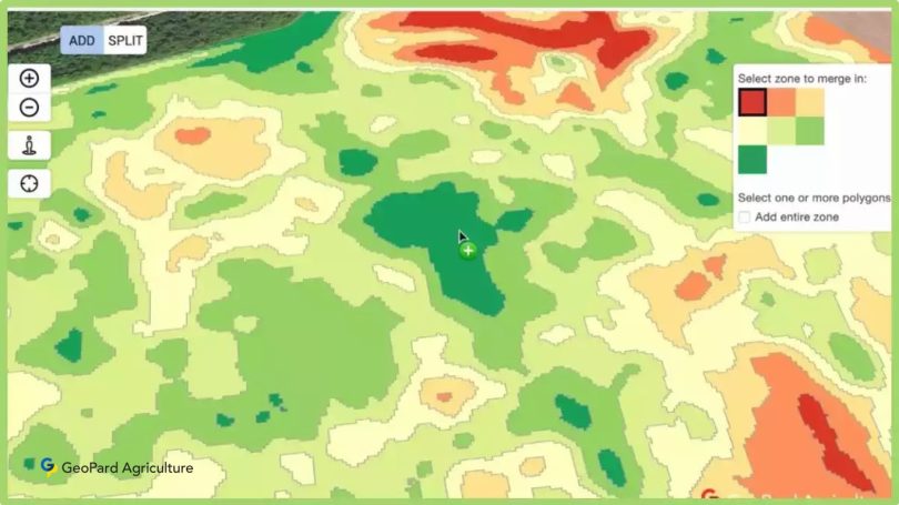


 Increased productivity aids global food security. By optimizing planting patterns using spatial data, farmers can achieve higher crop yields without expanding agricultural land.

 Through the generation of productivity maps, GeoPard Crop Monitoring provides a crucial solution for Precision Agriculture. These maps make use of historical information from prior years, enabling farmers to identify productivity patterns throughout their farms. Farmers can identify fruitful and unproductive locations by using these information.
 In the field of predicting crop yields, GeoPard has become a leading innovator. GeoPard has developed a trustworthy method that claims an excellent accuracy rate of over 90% by combining historical and current crop data obtained from satellites. This innovative approach is proof of how technology may revolutionize contemporary agriculture.
 GIS technology for agriculture provides a potent toolbox for spotting crops that are under water stress. Farmers can learn more about the water state of their crops by using indices like the Normalized Difference Water Index (NDWI) or the Normalized Difference Moisture Index (NDMI).
The default component of GeoPard Crop Monitoring, the NDMI index, offers a scale from -1 to 1. Water shortages are indicated by negative values around -1, but waterlogging may be indicated by positive values close to 1.
GIS technology for agriculture provides a potent toolbox for spotting crops that are under water stress. Farmers can learn more about the water state of their crops by using indices like the Normalized Difference Water Index (NDWI) or the Normalized Difference Moisture Index (NDMI).
The default component of GeoPard Crop Monitoring, the NDMI index, offers a scale from -1 to 1. Water shortages are indicated by negative values around -1, but waterlogging may be indicated by positive values close to 1.
 Imagine a scenario where a tractor is tasked with planting crops across a vast field. Equipped with a GPS system and GIS technology, the tractor utilizes spatial data to navigate along predetermined routes, ensuring consistent seed placement and optimal spacing. This precision not only enhances crop yield but also minimizes resource wastage.

 This platform provides capabilities like scouting to organize activities and exchange real-time information, as well as a field activity log for planning and monitoring operations, so it offers more than just GIS-based data.
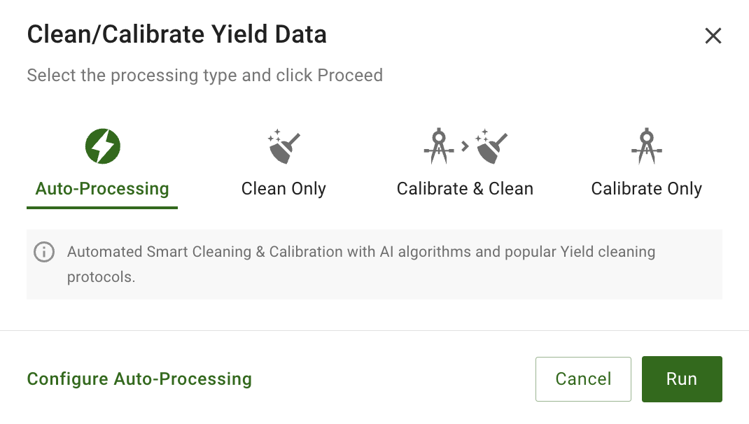
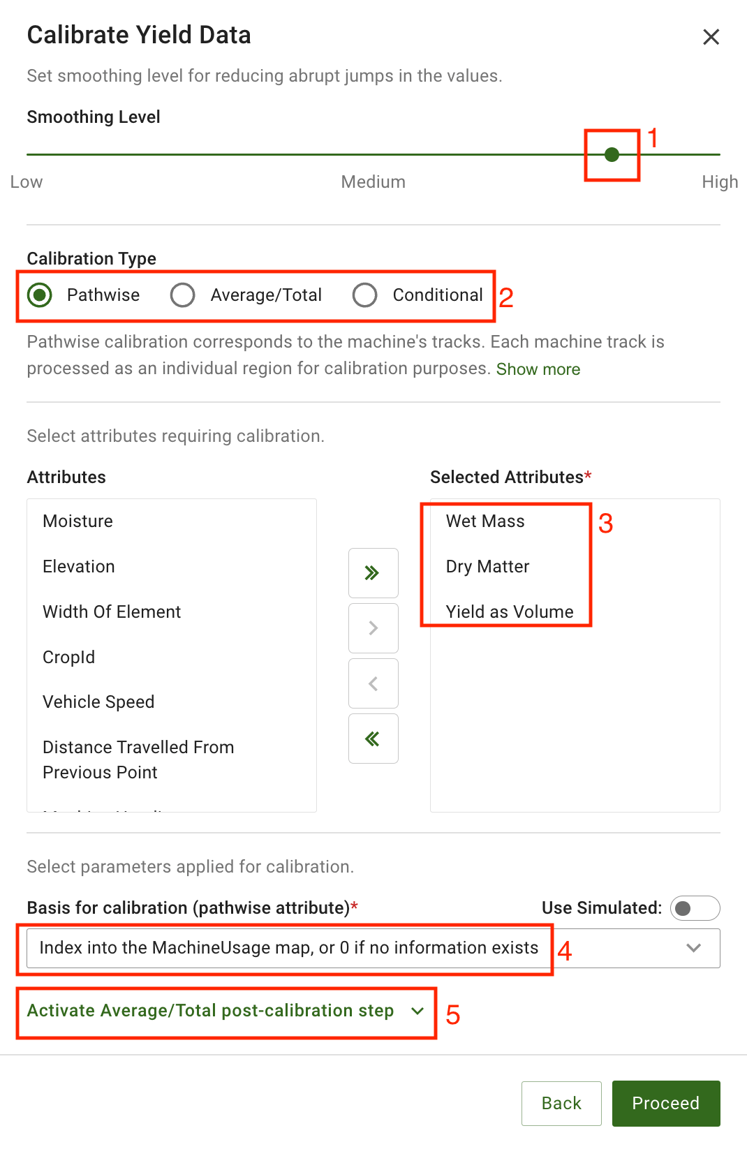
Data from additional sources is also included in GeoPard’s Crop Monitoring. The Data Manager tool, for instance, incorporates machine data into the platform. It supports popular file formats as SHP and ISO-XML.
You can measure crop yield using data from field machines, compare it to fertilizer maps, examine fertilizer tactics, and create plans to increase yield. The organizations that agricultural enterprises collaborate with and themselves benefit greatly from this all-in-one platform.
This platform provides capabilities like scouting to organize activities and exchange real-time information, as well as a field activity log for planning and monitoring operations, so it offers more than just GIS-based data.
Data from additional sources is also included in GeoPard’s Crop Monitoring. The Data Manager tool, for instance, incorporates machine data into the platform. It supports popular file formats as SHP and ISO-XML.
You can measure crop yield using data from field machines, compare it to fertilizer maps, examine fertilizer tactics, and create plans to increase yield. The organizations that agricultural enterprises collaborate with and themselves benefit greatly from this all-in-one platform.




 English
  German
  Ukrainian
  French
  Kazakh
  Portuguese
  Spanish
  Arabic
  Swedish
  Serbian
  Romanian
  Norwegian
  Finnish
  Lithuanian
  Estonian
  Latvian
  Croatian
  Slovenian
  Slovak
  Japanese
  Polish