Why choose GeoPard

We work hard every day to make our customers'
lives better and happier

Start now

Simplify the complexity of precision farming

GeoPard is an unbiased cloud-based Analytics Powerhouse for agricultural data. The platform core is capable of processing any set of geospatial data.

We help our clients integrate into their business processes and their applications. GeoPard make the onboading process as fast as possible. Software integration is ready in a week.

Discover the full potential of ag fields and improve agronomic decisions. GeoPard is your reliable tool for Ag operations from planning, execution to adjusting practices based on the data.

Our clients choose us because our solution includes everything you need in one place: cloud analytics of ag data, everything is necessary for digital farming, agronomy and precision farming practices and even more.

GEOPARD

High Quality

Get started with GeoPard Agriculture today!

For every passionate grower and interested.
Unbeatable yearly subscription offer with all functionality.

Try now

Affordability

Pay for what you use.
No hidden or extra costs, only fair and transparent pricing.

Use our maps in correspondence with any agricultural inputs and providers

Our business is designed for you to benefit from precision farming technology by providing you with reliable data to base your decisions on, easy-to-use mapping tools to help you see the solutions available, and an accessible user interface to simplify the complexity of precision ag. No matter the crop in question or the ag inputs provider, our platform is a place where the value of technology is used to streamline costs, and our very competitive pricing model reflects this.

compare two maps precision ag

multi-layer management zones map smart farm iot

Accessibility is a key part of our business model, as current geospatial technological solutions should be available to everyone for the same, fair price.
We have taken advantage of the automation and optimization of infrastructure costs, cloud computing, and open and free data sources like satellite imagery to cut costs on our end of things and make the IT technologies of the modern world available to you for a fair price.

Experience

We have been building AgTech solutions together since 2012, and GeoPard has evolved from our collective knowledge, scientific understanding, and hands-on experimentation and manipulation with cutting-edge technologies that has provided our team with a highly refined expertise in this field that is hard to match.

2012

Zoner – Innovative web-based precisionAg Platform.

#PowerZones product, close work with AgriTrend the biggest network of independent agri consultants (later acquired by Trimble).

Creating management zones for > 1 mln acres across the US, Canada, and EU.

2015

Zoner acquired by Bayer.

Bayer/Xarvio – Technical management and Development of the novel digital farming platform
2015 – 2018

2018
2019

Birth of GeoPard
2019

desktop
chemistry
2020
reward
phone
2021
partnership
ground
2022
drone satellite land

Business

  • US Patent – automated creation of management zones

  • Agritechnica 2019 – Top 5 innovative startups

  • World Agri Tech conference

  • First clients – independent Ag Advisors

  • Hectares based business model

  • Grant – NRW Stipendium

  • Cooperation with  Food Production companies, ex.: Pfeifer & Langen

  • Cooperation with  Agroholdings. Ex.: Kernel

  • Cooperation with John Deere dealers, ex. Hutson Inc.

  • Collaboration with Ag Input & service company Origin Digital

  • Cooperation with Iowa Soybean Association

  • More ag consulting groups work with GeoPard

  • Participation in agtech Rootcamp accelerator

  • Partnership with AirBus Up42

Product

  • Product launch: automated imagery analytics and Field Potential maps

  • Topography/LIDAR analytics

  • Machinery data analytics (Planting, Harvest, As-applied)

  • Soil Scanners data analytics (ex. SoilOptix, TopSoilMapper, FarmVU)

  • Scouting Module

  • Mobile Apps with offline mode for Scouting & Soil Sampling

  • Advanced tools for adjustments of Management Zones: Merge/Split tools

  • Compare 4 data layers live

  • MyJohn Deere Ops Center deeper Integration 

  • Multi-layer management zones module

  • Cross Layer maps

  • 3D maps

  • Planet imagery integration

  • Precision Planting format

  • Smart Scouting automation

  • Custom Labels to manage complex hierarchies

  • ISOXML format support

  • Climate data format support

  • Free hand drawing zones tool

  • Standardised data export

  • Radar data processing pipeline

This development is largely due to our ongoing communication with our customers, who are primarily agricultural consultants and agribusinesses. Their feedback has allowed us to improve our products based on what is needed in this sector, and deliver new features that are designed around the customer's needs.

Independent unbiased

We are 100% independent which means there is zero possibility that our data, products, or services could ever be compromised. We are dedicated scientists who place knowledge, truth, and transparency at the centre of our operation.

Data security is of immense importance to us. Your data is stored in data centers that are handled by Amazon AWS, a cloud infrastructure certified provider, and any access to that data is secured.

Everything you need

GeoPard Agriculture is a cloud-based powerhouse for precisionAg data analysis, prescriptions creation, and smart scouting.

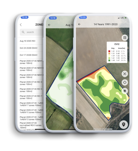
The GeoPard engine processes satellite imagery, soil sampling, yield, high-density soil scanners, and topography data, building sophisticated multi-layer and 3d models.

Data format

Our objective is to support different formats for both importing and exporting data, and to integrate with other systems to facilitate the straightforward and user-friendly nature of our platform.

geojson
.shape
.ISOXML
MyJohnDeere

How GeoPard Works

Partners

Winning teams choose GeoPard

Zachary Harmer SoilOptix®
Zachary Harmer

SoilOptix®

We are happy to have GeoPard as part of the platforms working with SoilOptix® data to enable growers and agronomists with the tools to accurately and visually analyze and manage their fields.

Databoerin-Nicole-Bartelds
Nicole Bartelds

Databoerin

GeoPard Agriculture is a system in which I can store my own data, and also receive current information from satellite images directly from my fields. A system that securely stores my own data ‘in the cloud’, so that I have access to the stored information at any time and at any location. But I also think it’s important that the data is only shared with others if I give permission for this myself, and if I no longer want to share the data, then I can immediately stop the data sharing.

Steve Larocque
Steve Larocque

Beyond Agronomy owner & FarmVU CEO

Data visualization leads to the creation of ideas and analytics helps us to solve problems. GeoPard’s platform not only helps us visualize data but also gives us the tools to analyze data so we can create solutions and write prescriptions agronomists.

Brendon-Friesen
PointForward Brendon Friesen

Operation & technology manager

Using Geopard has streamlined key parts of our workflow. In seasons where time is money, we can rely on the team at Geopard to get it done.

Isaac Hickerson
Isaac Hickerson

Data Manager in Hutson Inc.

Geopard is a great tool for us to build management zones with. When we don’t have access to multiple years worth of yield data for a grower, we can utilize GeoPard and the 20+ years of satellite imagery it gives us to build our management zones.

Luyven_Simon_
Simon Luyven

Projects Lead in Pfeifer & Langen

It is a pleasure to cooperate with GeoPard. Not only the solutions are innovative, but also the service is excellent.

Jason-Diller
Jason Diller

Precision Agriculture Manager in Mercer Landmark

When I compare the +20 year GeoPard product map to fields we have a multiple year average yield data its a very close match. The +20 year average map is an excellent product for growers lacking good yield data.

Special business solutions

We’ve facilitated the launch of many precisionAg software companies and can provide you a superior solution.
smart agriculture monitor

White label

  Your receive the best in the industry precisionAg platform (web & mobile) under your company brand. Save costs on expensive and slow development, rely on our expertise and launch your own solution in a few weeks.    

API

GeoPard solution easily plugs into any system, platform, or service. GraphQL, OGC standards, automated workflows, and more. You have access to all the data, analytics, and statistics, the same as the GeoPard team has. Use the best in the industry precisionAg analytics engine, mix it with your own ideas and business knowledge.    

Widgets

User interface widgets for direct integration. Similar to google maps that are embedded into any website, GeoPard widgets are ready to use components in your software

Mobile and Tablet Apps

Keep all necessary data always in your pocket to access it online and offline in the fields immediately.
  • Smart Scouting (geo-referenced comments, photos, logging of operations)
  • Soil sampling planning & execution
  • Tissue (plant) sampling
  • Visualization of all data layers (yield, soil, topography, vegetation, as-applied)
  • Seemless integration with your web account

Information

Soil Regeneration
What is soil regeneration?

Soil regeneration is simply the process of improving the quality of your soil by adding organic matter, which helps to improve drainage, water retention, and...

Read more
Analyze Geoprospectors of the field
Analyze Geoprospectors / TopsoilMapper data

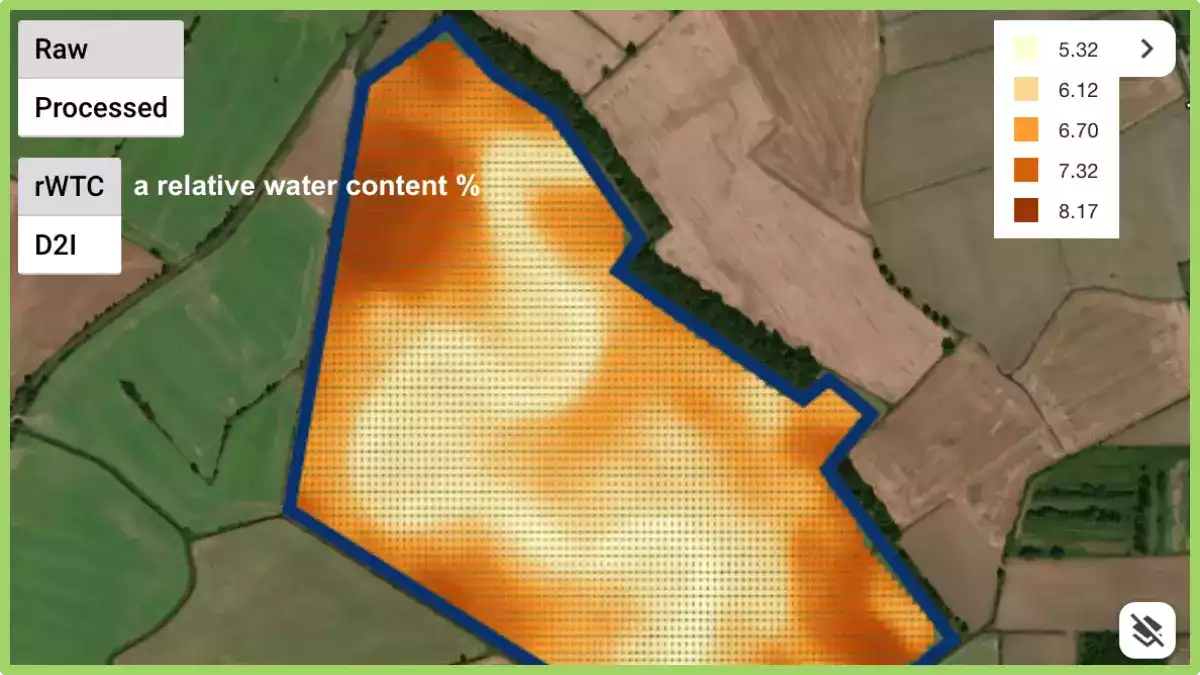
GeoPard is capable of processing and analyzing various types of ag spatial data. This is an example of working with high-density sensor datasets with a...

Read more
What is Phantom Yield Loss In Corn How to Reduce It
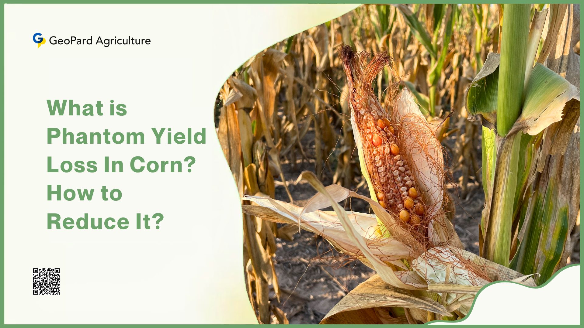
What is Phantom Yield Loss In Corn? How to Reduce It?

In the realm of agriculture, the pursuit of optimal crop yield is a perpetual challenge for farmers worldwide. While conventional wisdom often attributes yield losses...

Read more

    Request Free GeoPard Demo / Consultation


    By clicking the button you agree our Privacy Policy. We need it to reply to your request.

      Subscribe


      By clicking the button you agree our Privacy Policy

        Send us information


        By clicking the button you agree our Privacy Policy