05/04/2025
Precision Farming Barley Farming Gets a Boost With Lightweight YOLOv5 Detection Read more
Agriculture Mapping
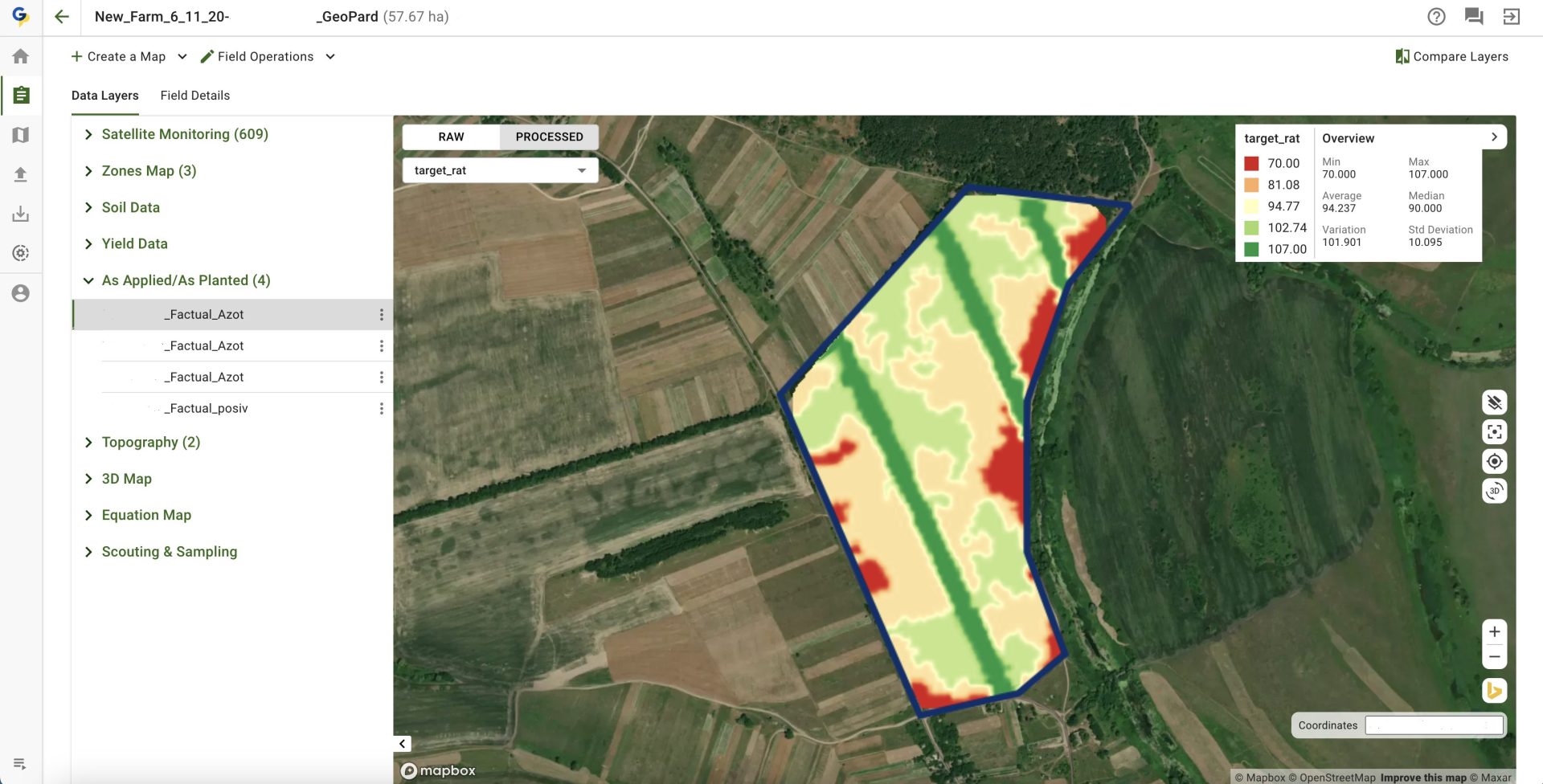
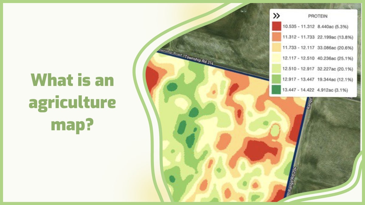
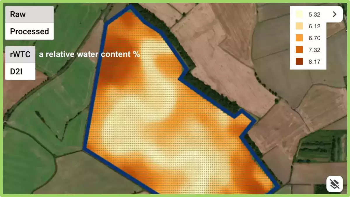
Welcome to the Agriculture and Crop Mapping section of our website! Here, you will find a wealth of information about the latest geospatial technologies used in agriculture, and how they are helping farmers optimize their crop yields and ensure sustainable practices. Our section covers a range of topics related to Agriculture and Crop Mapping, including: Crop monitoring and management: Learn how geospatial technologies such as drones and satellite imagery are used to monitor crop health, identify pests and diseases, and optimize resource allocation. Precision agriculture: Discover how precision agriculture techniques are being used to minimize waste, increase productivity, and reduce environmental impacts. Land use planning: Explore how Mapping is used to identify suitable areas for crop production, assess land use patterns, and plan for future development. Machine learning and AI: Learn how machine learning and artificial intelligence are transforming Crop Mapping, making it possible to automate mapping and analysis processes for faster and more accurate results. Our team of experts has carefully curated a collection of articles, videos, and case studies that demonstrate the latest advancements in Mapping. Whether you are a farmer, researcher, or policymaker, our section offers valuable insights and practical guidance to help you make informed decisions and ensure sustainable agricultural practices. We encourage you to explore our Agriculture and Crop Mapping section, and check back regularly for new content and updates. If you have any questions or feedback, please don’t hesitate to contact us. Thank you for visiting our website, and we hope you find this section informative and helpful!



Ready?
Service without extra costs
You pay for what you use only. Just choose a plan that fits you or contact us for assistance Choose Your PlanGet Demo
Fill out a contact form and get a demo to discover the full potential of the GeoPard Agriculture platform! Try now


We've detected you might be speaking a different language. Do you want to change to:
 English English
 German
 Ukrainian
 French
 Kazakh
 Portuguese
 Spanish
 Arabic
 Swedish
 Serbian
 Romanian
 Norwegian
 Finnish
 Lithuanian
 Estonian
 Latvian
 Croatian
 Slovenian
 Slovak
 Japanese
Russian
 Polish
