
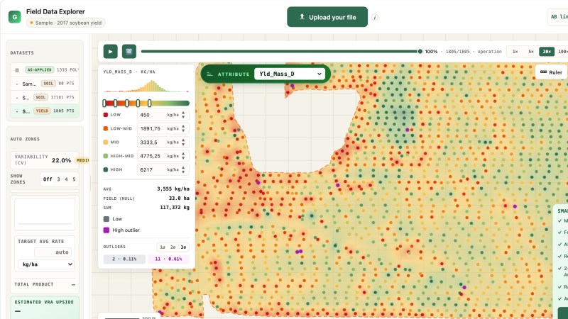
Field Data Explorer
Drop a yield, as-applied, as-planted or soil file and read it as a map: outliers flagged, the operation replayed, the variability worth acting on.
Bring A shapefile, GeoJSON or ISO-XML export from the terminal or the lab.
Files stay in your browser.
Open the Field Data Explorer





 English
  German
  Ukrainian
  French
  Kazakh
  Portuguese
  Spanish
  Arabic
  Swedish
  Serbian
  Romanian
  Norwegian
  Finnish
  Lithuanian
  Estonian
  Latvian
  Croatian
  Slovenian
  Slovak
  Japanese
  Polish