05/17/2023
Product features Automated Field Boundaries Detection Model for Precision Agriculture by GeoPard Read more
Satellite Imagery
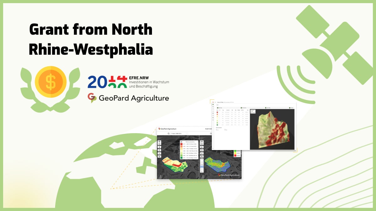
Welcome to the Satellite Imagery in Agriculture section of our website! Here you will find an extensive collection of high-resolution satellite images that are specifically designed for farmers, agronomists, and researchers who are interested in using this for precision agriculture. Our satellite images are taken by advanced remote sensing technology, allowing us to capture detailed information about crop health, moisture levels, and other important factors that influence agricultural production. Our images can help you to make informed decisions about crop management, irrigation, and other critical aspects of farming. Through our Satellite Imagery in Agriculture section, you can access images of various agricultural regions, crops, and farming practices. Our images are accompanied by detailed analysis and insights from our team of experts, giving you the information you need to optimize your farming practices and improve your yields. Whether you are a small-scale farmer or a large agricultural enterprise, this section is a valuable resource for improving your agricultural productivity. We understand that agriculture is a complex and dynamic field, and we strive to provide the most accurate and up-to-date information to help you succeed. Our website is designed to be user-friendly and easy to navigate, ensuring that you can quickly find the information you need. We also offer a range of tools and resources to help you make the most of it, including tutorials, training materials, and technical support.


Ready?
Service without extra costs
You pay for what you use only. Just choose a plan that fits you or contact us for assistance Choose Your PlanGet Demo
Fill out a contact form and get a demo to discover the full potential of the GeoPard Agriculture platform! Try now

We've detected you might be speaking a different language. Do you want to change to:
 English English
 German
 Ukrainian
 French
 Kazakh
 Portuguese
 Spanish
 Arabic
 Swedish
 Serbian
 Romanian
 Norwegian
 Finnish
 Lithuanian
 Estonian
 Latvian
 Croatian
 Slovenian
 Slovak
 Japanese
Russian
 Polish
