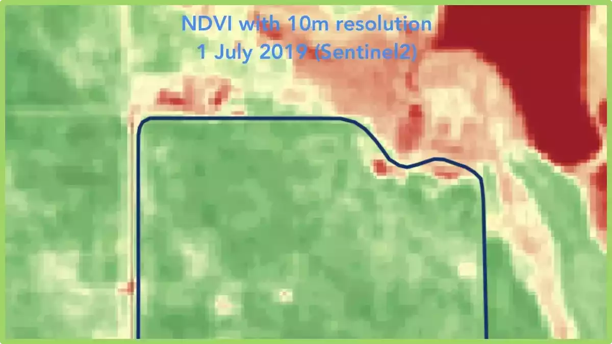


Satellite imagery resolution may vary and the most popular free providers have 10m (Sentinel2) and 30m (Landsat). From time to time such quality is not enough.
Therefore, the GeoPard team adjusts comprehensive scientific algorithms (e.g. also used in medical diagnostic) for agricultural fields to improve the quality of GeoPard raster and vector analytics.
It helps to increase the accuracy of the GeoPard maps to 3-10 times comparing to the original resolution of a source satellite image. For example, the spatial resolution of the GeoPard management zones map is ~3m.
If you are a crop grower or ag consultant, start to utilize https://geopard.tech/ cutting edge analytics for your fields for an affordable price.
If you are a service provider, integrate https://geopard.tech/ analytics via API into your platform and start to give value to your customers right away.
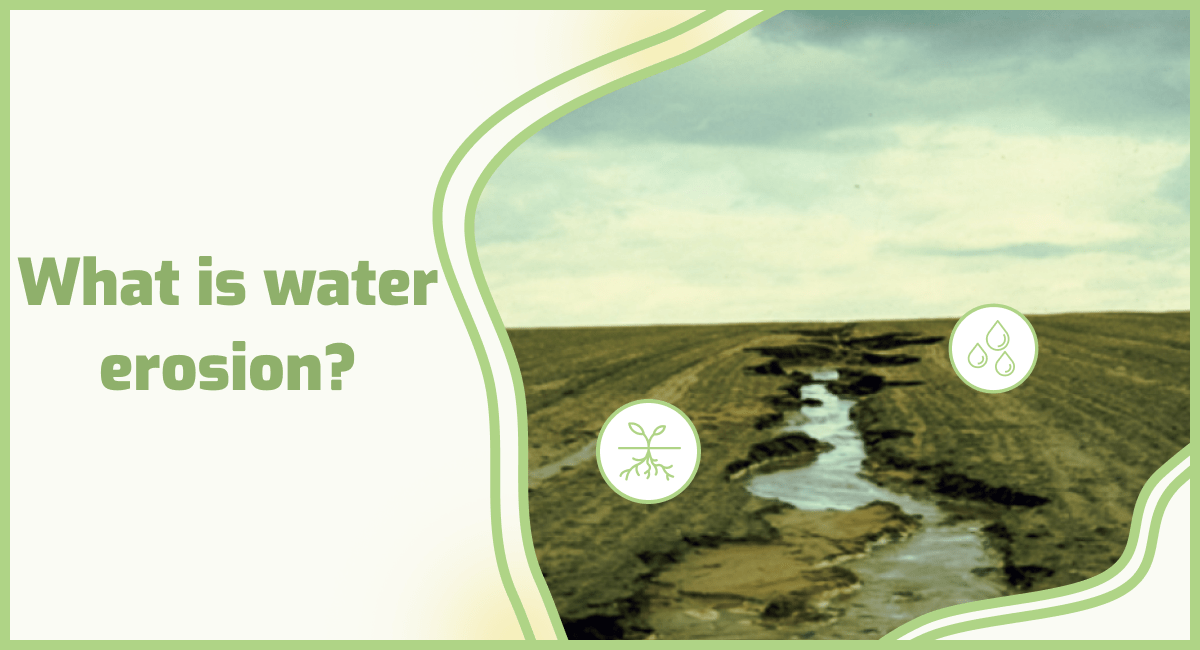
How to read NDVI imagery?
Reading NDVI imagery involves a few key steps. First, understand that NDVI measures the health and vigor of vegetation. High NDVI values indicate healthy and dense vegetation, while low values suggest stressed or sparse vegetation.
To interpret NDVI imagery, compare the color scale provided with the image, where green or dark green represents healthy vegetation, and yellow or red indicates stressed or non-vegetated areas.
By analyzing the patterns and variations in NDVI values across an area, you can gain insights into the health and distribution of vegetation, helping with tasks like crop monitoring and land management.
ГеоПард Агрікультура
Дистанційне зондування