Demographers confirm Earth’s population will reach 10 billion this century, creating immense pressure on global food systems, especially in developing nations. Alarmingly, only 3.5% of the planet’s land is suitable for unrestricted crop cultivation according to UN FAO data.
Compounding this challenge, agriculture itself contributes significantly to climate change; deforestation accounts for 18% of global emissions while soil erosion and intensive farming further increase atmospheric carbon levels.
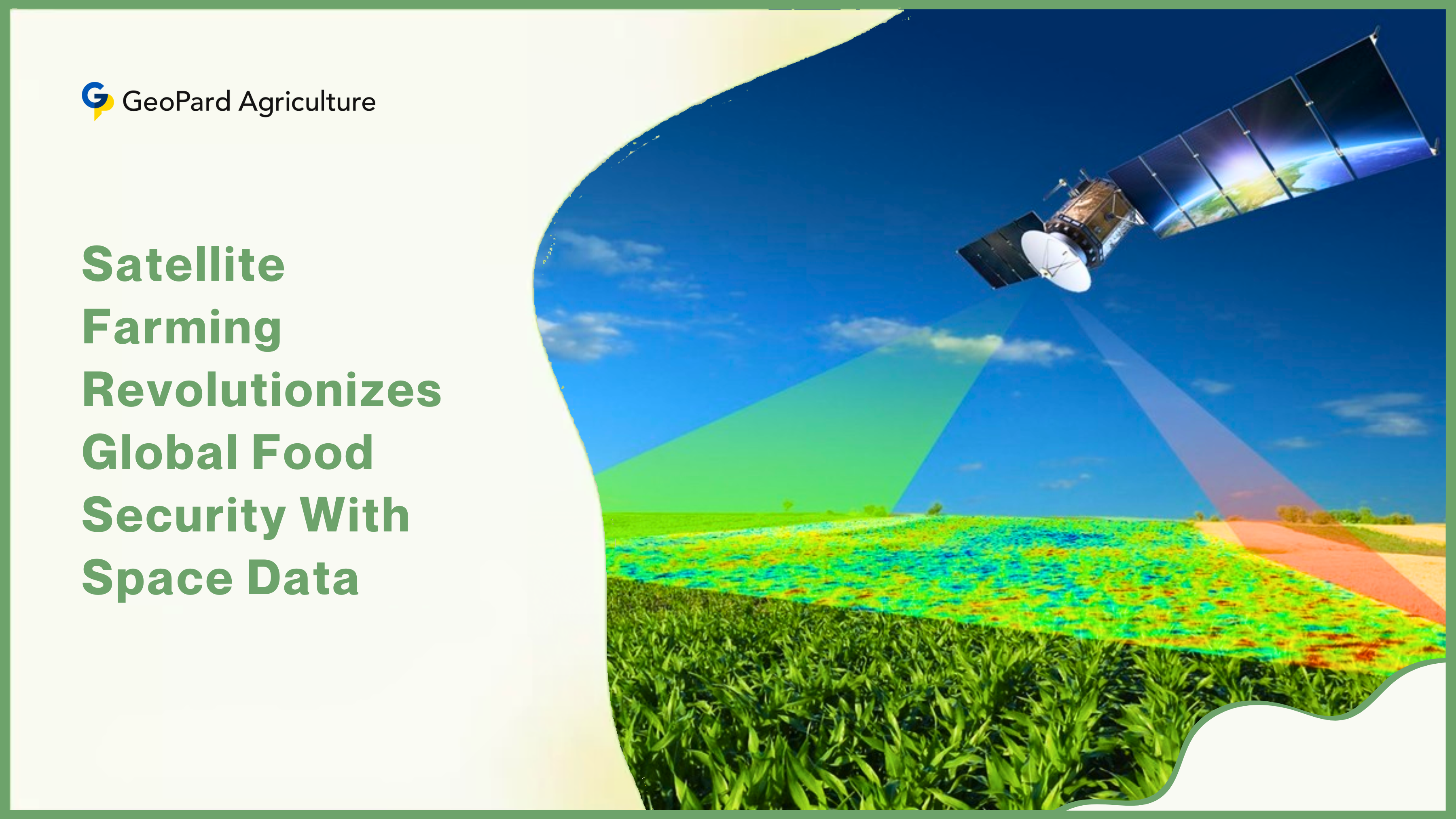
What is Satellite Farming?
Satellite farming has emerged as a critical solution for sustainable agriculture. This space-powered technology operates on a powerful principle: observe, compute, and respond. By harnessing GPS, GNSS, and remote sensing capabilities, satellites detect field variations down to square-meter precision.
This capability enables advanced drought prediction months in advance, millimeter-accurate soil moisture mapping, hyper-localized irrigation planning, and early pest detection systems.
For instance, in Mali’s challenging agricultural environment where failed rains in 2017-2018 caused cereal prices to spike and widespread hunger, NASA Harvest provides smallholders with satellite-derived crop stress alerts through Lutheran World Relief, enabling life-saving early interventions.

Essentially, these orbiting tools transform agricultural guesswork into precise action for farmers worldwide facing climate uncertainty.
Major Organizations Advancing Agricultural Space Technology
Leading this agricultural technology revolution are prominent international organizations bridging space innovation and farming needs. The Food and Agriculture Organization (FAO) strategically combines its Collect Earth Online platform with SEPAL tools for real-time land and forest monitoring, which proves crucial for global climate action initiatives.
Meanwhile, NASA’s SMAP soil moisture missions provide water resource managers with vital hydrological data, while its specialized Harvest program delivers targeted support to small-scale farmers in vulnerable regions like Mali.
Across the Atlantic, the European Space Agency deploys its advanced Copernicus Sentinel satellites and the SMOS mission to monitor continental-scale crop health across Europe, with the upcoming FLEX satellite poised to significantly advance these capabilities.
India’s space agency ISRO contributes substantially through satellites like Cartosat and Resourcesat, which generate high-precision crop acreage estimates and enable accurate assessment of drought or flood damage across the subcontinent.
Simultaneously, Japan’s JAXA operates the sophisticated GOSAT series for greenhouse gas tracking and ALOS-2 with its unique PALSAR-2 radar technology that penetrates cloud cover for reliable day/night crop monitoring.
Furthermore, the World Meteorological Organization delivers critical forecasting services for agriculture, water management, and disaster response through its comprehensive global climate application network. Together, these institutions form an indispensable technological safety net supporting global food production systems.
Global Satellite Farming Adoption Patterns
Different nations adopt distinct approaches to satellite-enabled agriculture, with varying levels of implementation success. Israel stands as a global pioneer in full-scale precision agriculture, leveraging satellite data to manage water and nutrients down to individual plants in its arid environment, effectively transforming challenging landscapes into productive farms—a model desperately needed in water-scarce regions worldwide.

Germany excels in smart farming integration, combining artificial intelligence with satellite imagery for early plant disease diagnosis while connecting farmers directly to markets through innovative digital platforms.
Meanwhile, Brazil implements an ambitious low-carbon incentive system, integrating crops, livestock, and forests while using satellite monitoring to slash agricultural emissions by 160 million tonnes annually. The United States employs satellite optimization within its industrial-scale monoculture systems, particularly in states like California where almond growers achieved 20% water reduction during droughts using NASA data.
However, comprehensive research reveals only Israel and Germany currently practice fully integrated satellite farming systems. Major food producers like China, India, and Brazil utilize elements of the technology but lack complete adoption across their agricultural sectors.
Crucially, developing nations in Africa, Asia, and Latin America urgently need these advanced systems but face significant implementation barriers including technology costs and technical training gaps.
This adoption disparity remains particularly alarming since studies indicate satellite farming could boost yields by up to 70% in food-insecure regions through optimized resource management.
Satellite Monitoring of Agricultural Environmental Impact
Advanced satellites play an increasingly vital role in combating agriculture’s substantial environmental footprint, which includes significant soil, water, and air pollution.
Industrial runoff and unsustainable farming practices deposit dangerous contaminants like chromium, cadmium, and pesticides into agricultural soils worldwide, while fertilizer combustion releases harmful nitrogen oxides and particulate matter into the atmosphere. Agricultural runoff further contaminates water systems with nitrates, mercury, and coliform bacteria, creating public health hazards.
Moreover, agriculture generates staggering greenhouse gas emissions: land clearing and deforestation produce 76% of agricultural CO₂ emissions, livestock and rice cultivation contribute 16% of global methane (which traps 84 times more heat than CO₂ in the short-term), and fertilizer overuse accounts for 6% of nitrous oxide emissions.
Fortunately, specialized pollution-monitoring satellites now track these invisible threats with unprecedented precision. Japan’s GOSAT-2 satellite maps CO₂ and methane concentrations across 56,000 global locations with greater than 0.3% accuracy, providing invaluable climate data.
Europe’s Copernicus Sentinel-5P, currently the world’s most advanced pollution satellite, revealed that 75% of global air pollution originates from human activities, driving immediate environmental policy changes.

India’s HySIS satellite monitors industrial pollution sources through sophisticated hyperspectral imaging, while the upcoming French-German MERLIN mission will deploy cutting-edge lidar technology to pinpoint methane “super-emitters” like intensive feedlots and rice fields.
These orbital sentinels increasingly hold industries and agricultural operations accountable, transforming global environmental enforcement capabilities.
Overcoming Satellite Farming Implementation Challenges
Despite its proven benefits for sustainable agriculture, significant barriers hinder global satellite farming adoption, particularly in developing regions. Smallholder farmers, who grow approximately 70% of the world’s food, often lack reliable internet access or technical training to interpret complex geospatial data.
The substantial cost of technology remains prohibitive; a single advanced soil sensor can cost $500—far beyond financial reach for most farmers in developing economies. In countries like Pakistan and Kenya, valuable agrometeorological data rarely reaches field workers due to persistent infrastructure gaps and technical limitations.
Cultural resistance also presents adoption challenges; many farmers traditionally trust generational wisdom over algorithmic recommendations, while others reasonably fear data misuse by insurers or government agencies. To address these multifaceted challenges, agricultural researchers propose concrete implementation solutions.
National governments must fund mobile training workshops that teach farmers to interpret satellite alerts, directly modeled on Mali’s successful Lutheran World Relief program. Financial support mechanisms should subsidize affordable monitoring tools like AgriBORA’s $10 soil sensors specifically designed for African smallholders.
Additionally, a WMO-coordinated global knowledge-sharing network could democratize access to critical crop forecasts and pollution data across borders.
Emission reduction incentives, similar to Brazil’s innovative ABC Program offering low-interest loans for climate-smart farming, would significantly accelerate sustainable technology adoption.
Ultimately, enhanced worldwide cooperation remains essential; when Indian and European satellites shared real-time data during the 2020 locust swarm crisis, East African farmers successfully saved 40% of threatened crops through timely interventions. Scaling such collaborative models could prevent future agricultural disasters across vulnerable food systems.
Conclusion
Looking toward the future, satellite farming represents humanity’s most promising approach for balancing urgent food security needs with responsible environmental stewardship. Developing nations must prioritize implementing proven Israeli and German precision agriculture models to boost yields sustainably amid climate challenges.
Expanding methane-monitoring satellite capabilities like MERLIN’s technology proves particularly critical, given methane’s disproportionate climate impact potential. The compelling statistics underscore the opportunity: research indicates optimized satellite use could increase developing-world agricultural yields by 70% while simultaneously reducing water consumption and fertilizer use by 50%.
As climate volatility intensifies and global populations expand, these orbiting guardians offer our clearest pathway to nourish 10 billion people without sacrificing planetary health. The ultimate harvest? A food-secure future where agriculture actively heals rather than harms our precious Earth.
Precision Farming


