To visualize field data and make informed decisions it is often necessary to compare layers on multiple synchronized views.
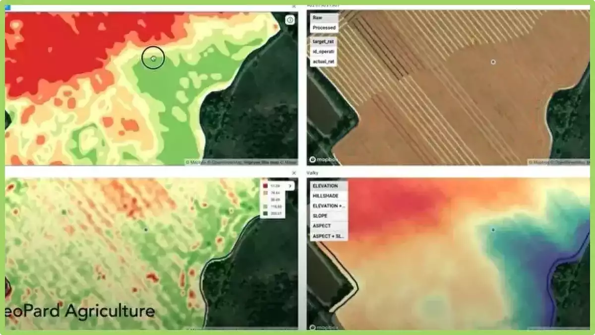
In GeoPard, you can visually compare up to four layers of data on one screen. All layers work synchronously when you zoom in/out or move the map for your convenience.
How do I enter split-screen mode? Select a field and click the layer comparison icon in the upper right corner of the screen. Then select any snapshots, field control areas, or other layers that you want to see on the same screen at the same time. Click Compare Layers.
The layer comparison feature synchronizes maps, cursors, zoom levels. Also you have the ability to add/remove layers. Currently we support up to 4 data layers.
What are data layers in precision agriculture?
In precision agriculture, data layers refer to the different types of data that are collected and analyzed to make informed decisions about crop management. These layers may include:
- Soil data: Information about soil characteristics, such as nutrient levels, pH, and texture, which can inform decisions about fertilization and other soil management practices.
- Weather data: Data on current and historical weather patterns, including temperature, precipitation, and wind, can help farmers make decisions about planting, irrigation, and other practices.
- Crop data: Data on crop growth and health, including plant height, leaf area, and chlorophyll levels, can inform decisions about fertilization, irrigation, and pest management.
- Yield data: Information on crop yield and quality can help farmers make decisions about harvesting and marketing their crops.
- Topographic data: Information about the shape and elevation of the land can inform decisions about planting and irrigation, and can help identify areas that may be prone to erosion or other environmental problems.
- Remote sensing data: Data collected from satellites, drones, or other remote sensors can provide information on crop health, soil moisture, and other factors that can inform decisions about crop management.
By analyzing and integrating these different data layers, farmers can make more informed decisions about crop management, leading to more efficient and sustainable farming practices.
Surveillance des cultures