The GeoPard solution is becoming a powerhouse for agricultural geospatial analytics to turn data into powerful actions. And our API is your advantage.
You focus on your own business operations and planning while GeoPard Agriculture deals with the complexity of spatial data cleansing and preprocessing, storage and visualization, automatically applied algorithm and models, advanced statistics and analytics.
Time and money are an important resource. Integrate GeoPard API and start benefit from advanced geospatial analytics right away and save millions of dollars on in-house enterprise solution development.
It is easy to plug into any systems, platform or service and to enable automatically producing insights about any field on a global scale. Important to say that we do not sell clients’ data.
Examples of API integration use cases:
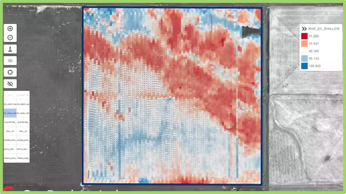
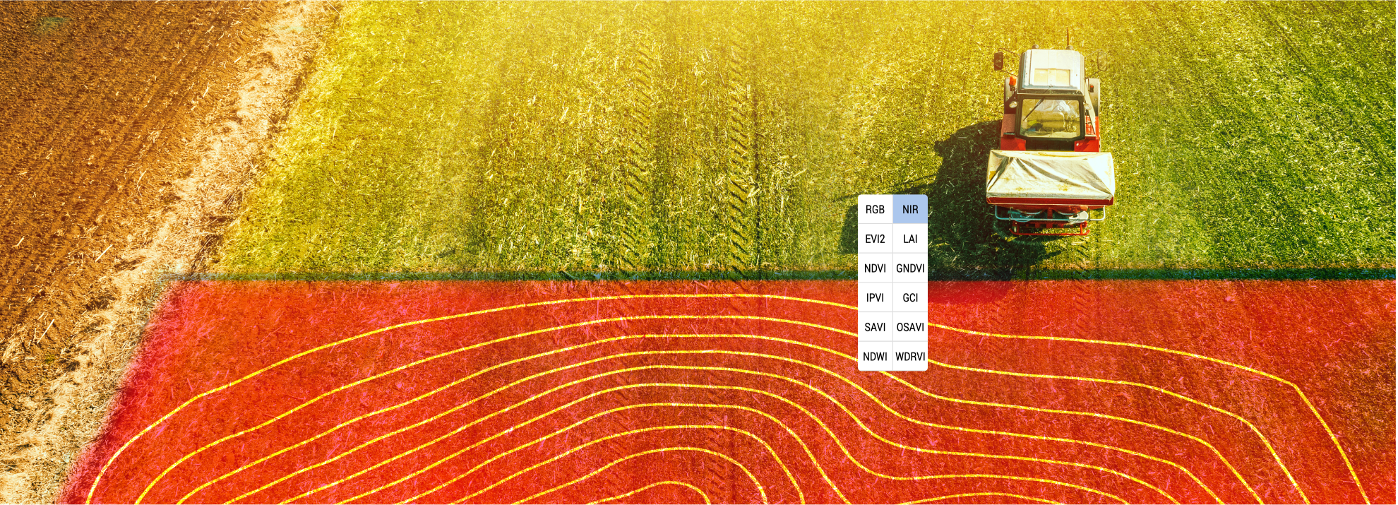
- Bidirectional data synchronization to import any of your field boundaries, soil samples, raw yield monitor data and to export Variable Rate Application (VRA) maps, management zones, 11 satellite imagery views including 3m resolution for vegetation indices (like EVI2, NDVI, LAI, GCI, OSAV, etc), Digital Elevation Models (DEMs) with slope, hillshade, aspect derivatives for your fields. No need to do data exchange manually via GeoPard user interface.
- Agronomy department can automate field insights creation based on your own private rules. For example, monthly detect the percentage of vegetation changes at every spot on every field OR define crop protection rates based on your own custom agronomic rules OR mix different data layers into a single management zones map with your own factor for every chosen layer. The capabilities to scale on any amount of fields and parallelize all calculations are available by default with GeoPard.
- R&D department can extract raw values of time-series data for each pixel of the field and to run their own agronomic modeling.
We always listen to our partners and customers in order to provide the best possible service in terms of support, cost optimizations and development forces to speed up onboarding and integration. Just drop us a message.
GeoPard Rolnictwo
Rolnictwo precyzyjne